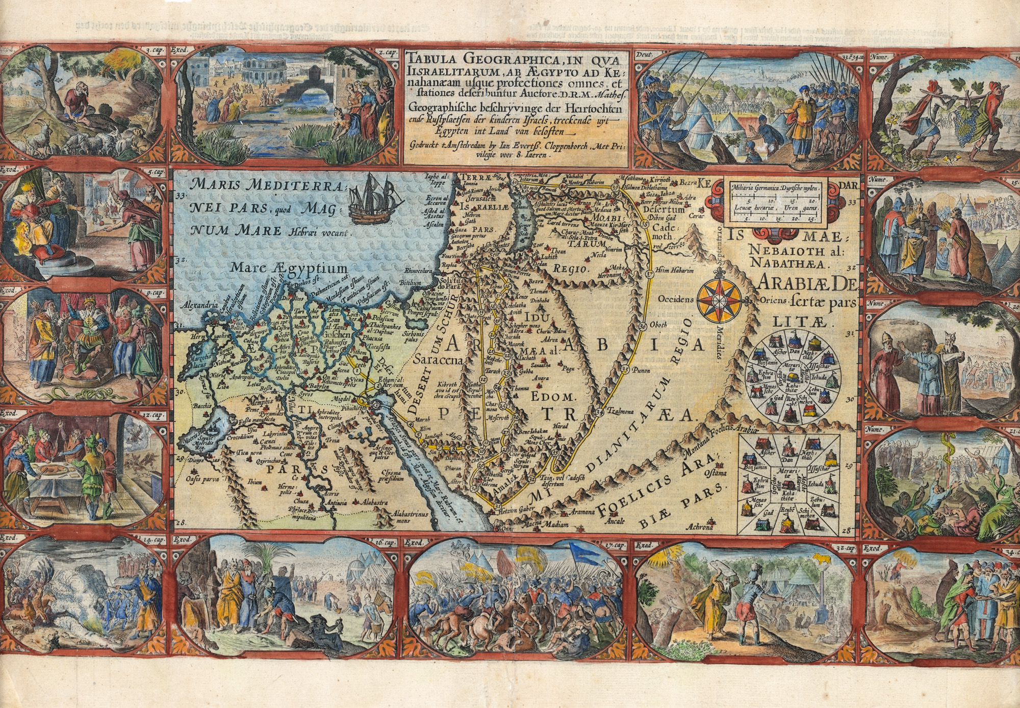
141. "Map of the 'Holy Land', by Petrus Plancius, Amsterdam, 1590"
Starting price
EUR 300
Sold
EUR 400
Session
Wed, 27 November 2024 18:00
Dimensions
width 50 cm, height 33.5 cm
Description
copper engraving, striated paper, manually colored
ADDITIONAL INFORMATION
For clarifications regarding the bidding procedure, hammer price costs, guarantee, payment, and collection terms for the winning lot, we recommend carefully reading/re-reading the Bidding Regulations.
For additional information regarding the lot and the auction, please contact the Art Consultants Department.
Detalii
ADDITIONAL INFORMATION
For clarifications regarding the bidding procedure, hammer price costs, guarantee, payment, and collection terms for the winning lot, we recommend carefully reading/re-reading the Bidding Regulations.
For additional information regarding the lot and the auction, please contact the Art Consultants Department.
Dimensions
width 50 cm, height 33.5 cm
Description
copper engraving, striated paper, manually colored
Similar lots
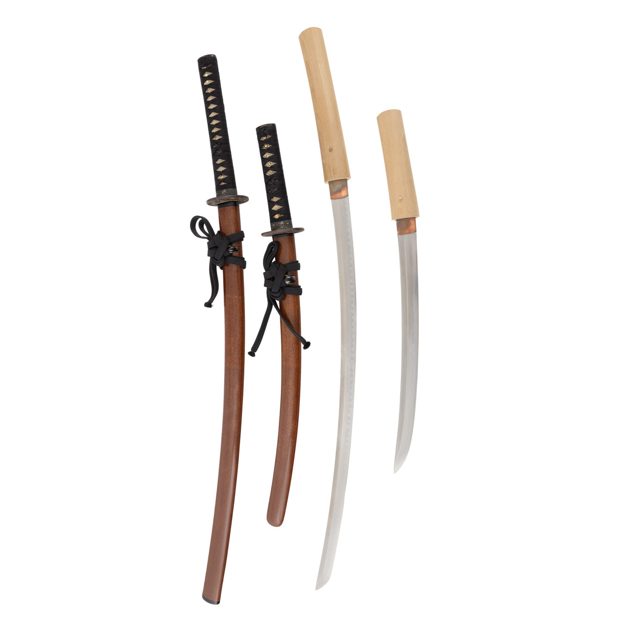
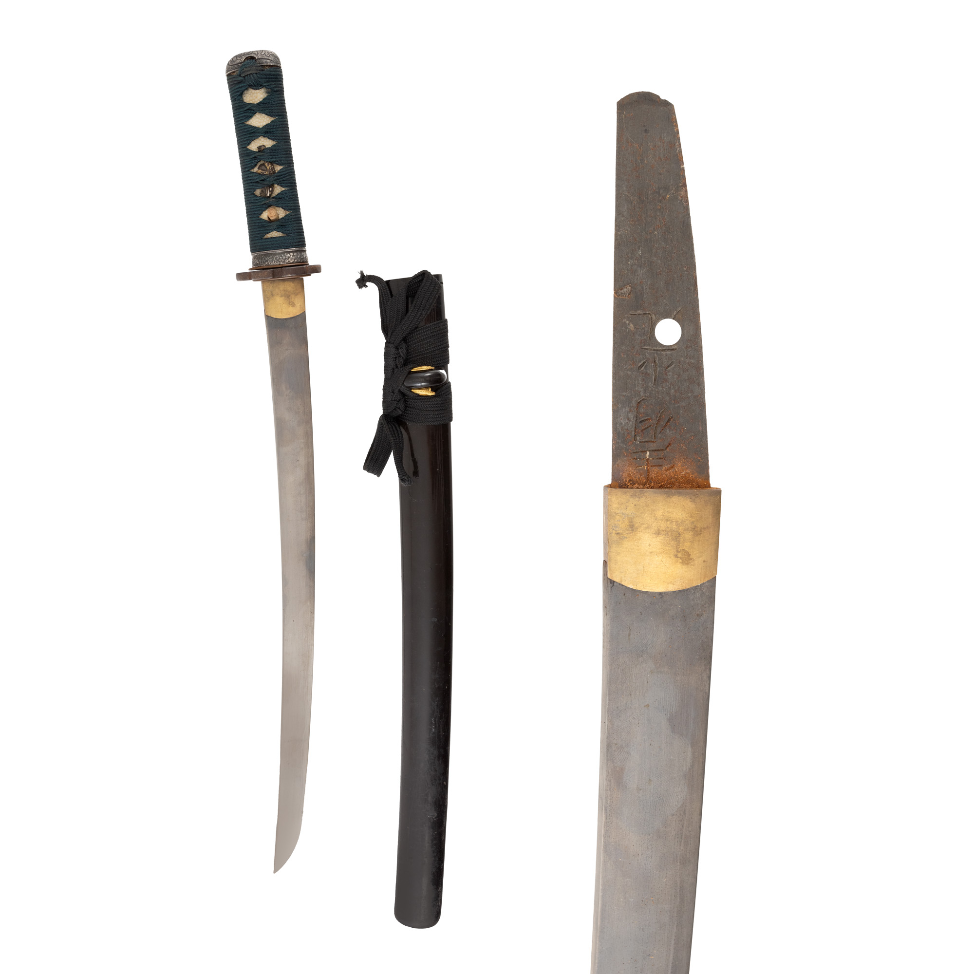
85. Daishō (set) format from Katana, from Jumyo school (寿命), approx. 1781-1876, and Wakizashi, attributed to Uda Kunihisa (宇多国久), approx. 1469, accompanied by NBTHK and Oshigata certificates