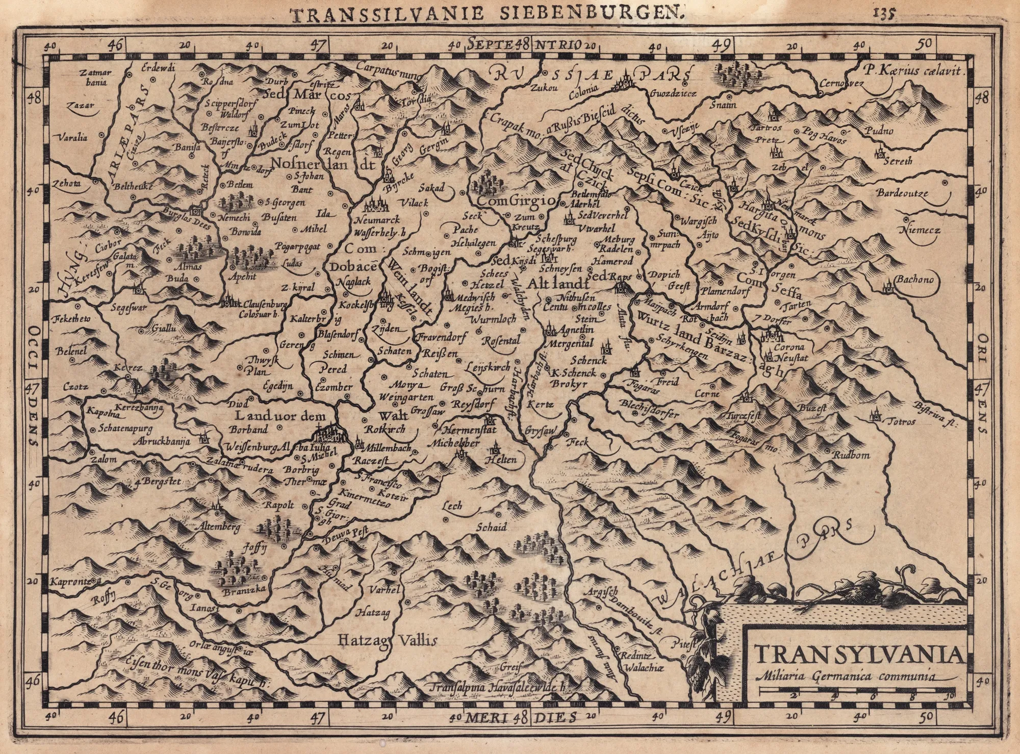

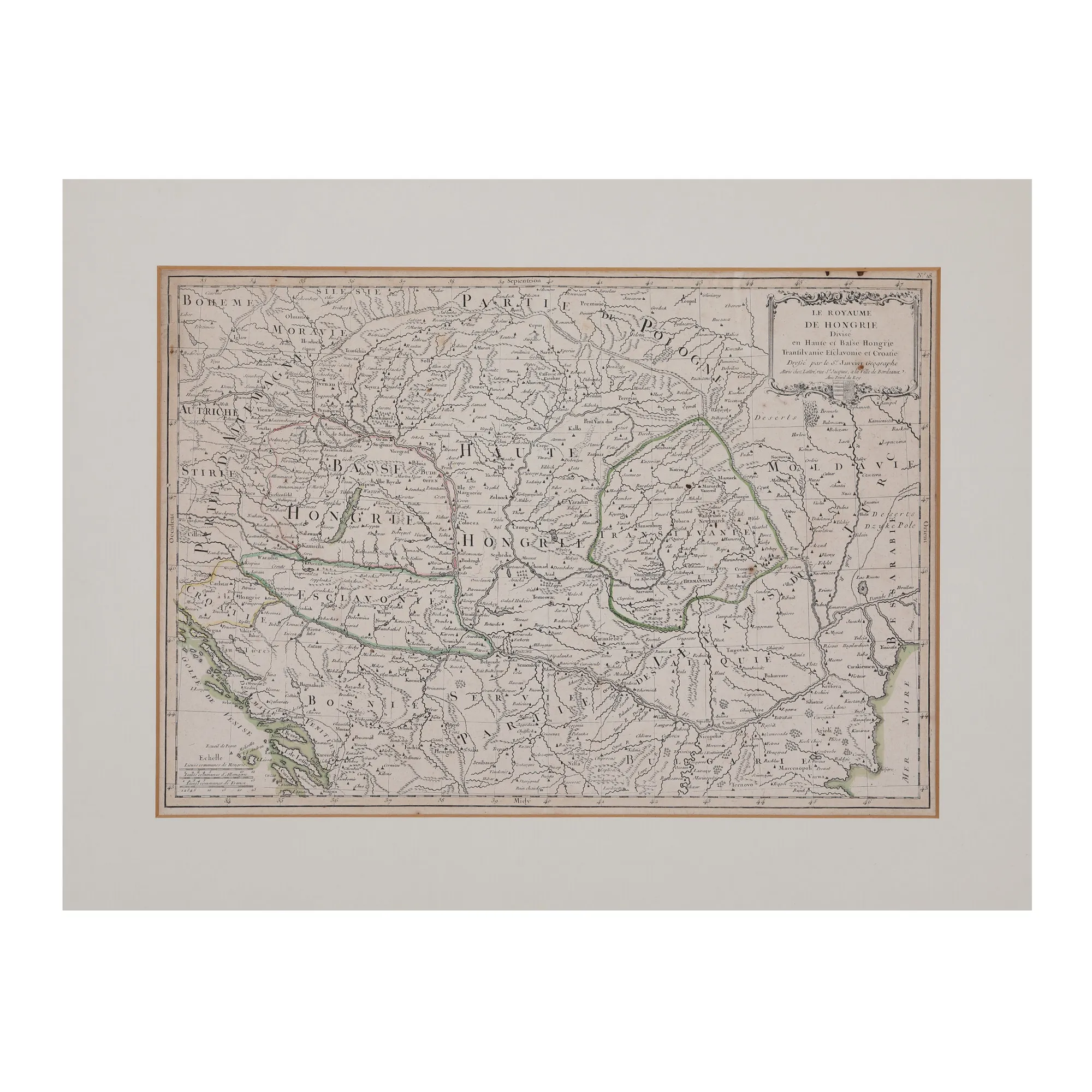
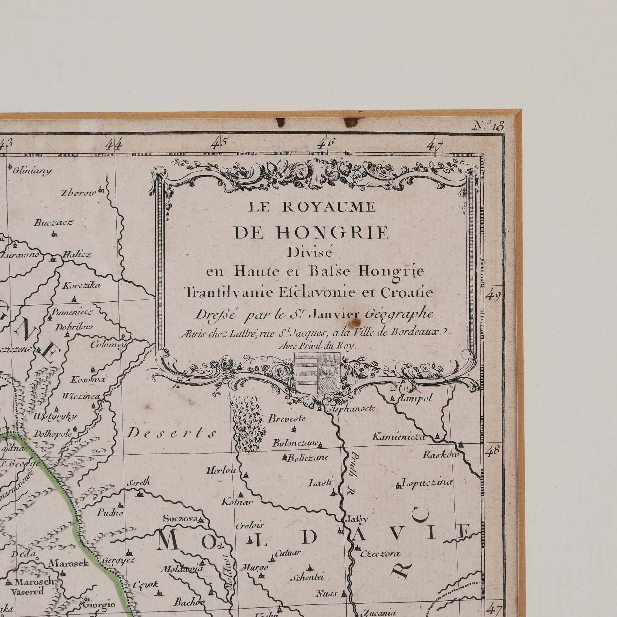
"Kingdom of Hungary divided into Upper and Lower Hungary, Transylvania, Esclavonia and Croatia" map by Jean Janvier, Paris, approximately 1780
Снимките на лота са само информативни и ориентировъчни и не могат да осигурят изключително детайлен изглед на обекта от всички ъгли. Препоръчваме внимателен физически оглед на лота преди наддаване.
"Kingdom of Hungary divided into Upper and Lower Hungary, Transylvania, Esclavonia and Croatia" map by Jean Janvier, Paris, approximately 1780
Описание
This map is part of the work Atlas Moderne, published in 1770 in Paris by the French cartographer Jean Janvier (1746-1779). The map covers the northern and southern parts of Hungary, including Transylvania, as well as parts of Bosnia, Bulgaria, Moldova and Wallachia. Specialists have disagreed on the scholar's surname, so he is mentioned either as Jean or Robert, because he always signed his works as S(igno)r Janvier. Engraving on copper, manually coloured after imprinting.
Размери
Ширина 32, Височина 45, Информация за размерите 45 Ã 32 cm
Материал
copper engraving, laid paper, hand-coloured
Местоположение
Artmark românia