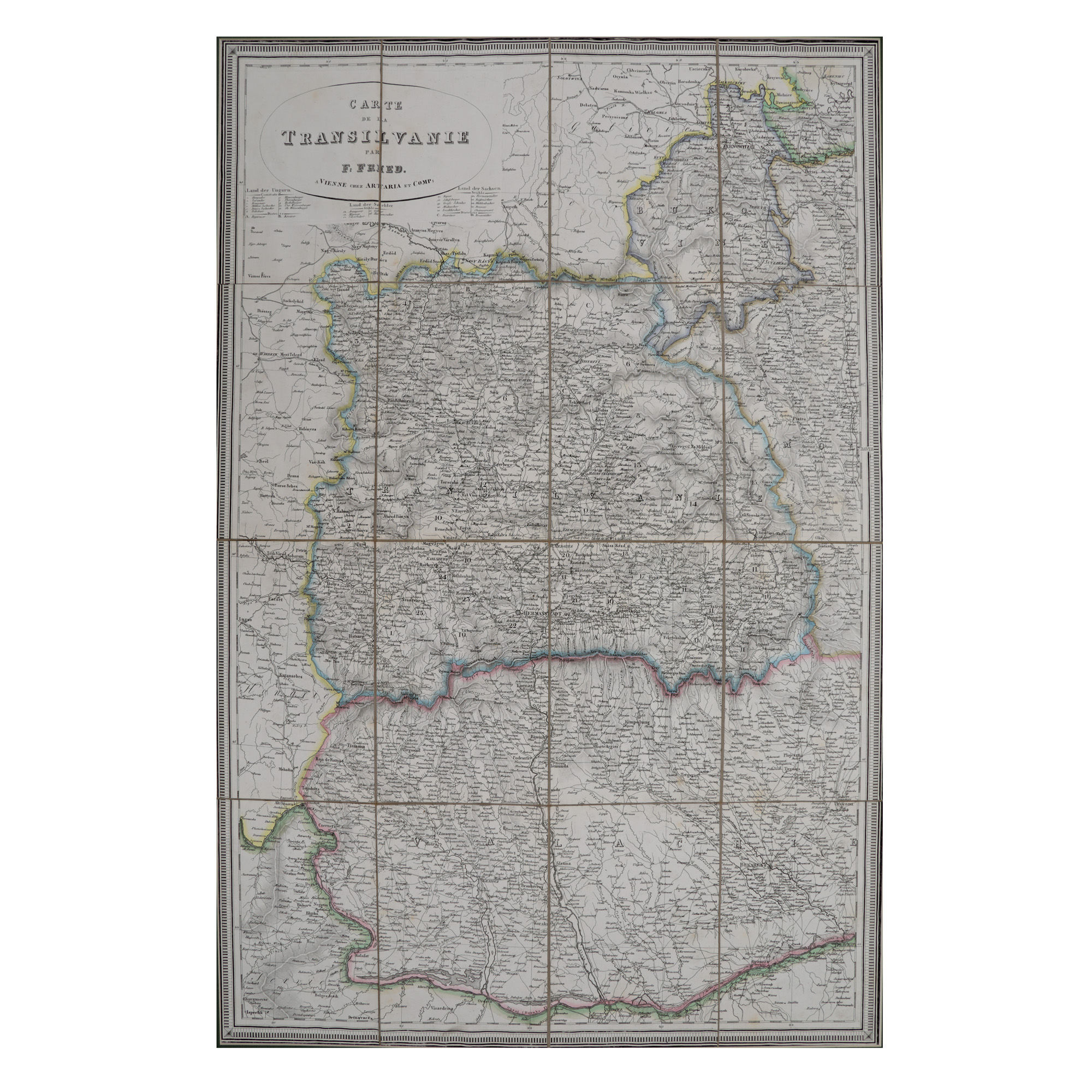
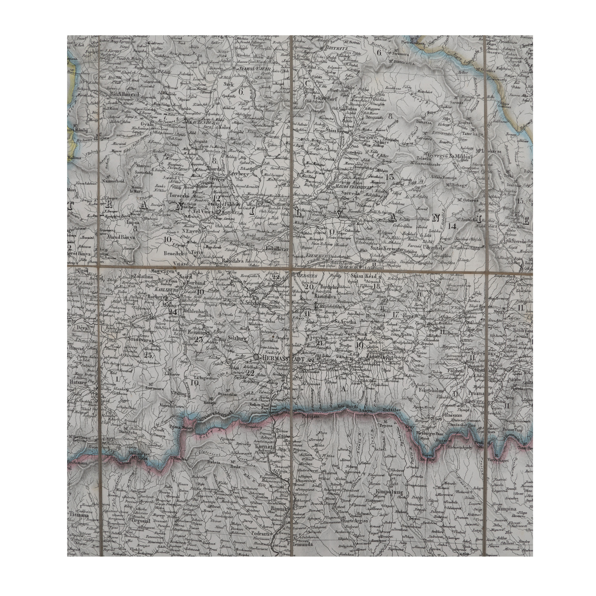

75. "Transylvania" map, made by F. Fried, Vienna, 19th century
Продажна цена
EUR 1.200
Сесия
Вто, 21 ноември 2023 19:00
Размери
width 56 cm, height 83 cm
Описание
lithography on canvas
ДОПЪЛНИТЕЛНА ИНФОРМАЦИЯ
За разяснения относно процедурата по наддаване, разходите при спечелване, условията за гаранция, плащане и вземане на спечеления лот, препоръчваме внимателно четене/препрочитане на Правилника за наддаване.
За допълнителна информация относно лота и търга, моля свържете се с Отдела на арт консултантите.
Detalii
ДОПЪЛНИТЕЛНА ИНФОРМАЦИЯ
За разяснения относно процедурата по наддаване, разходите при спечелване, условията за гаранция, плащане и вземане на спечеления лот, препоръчваме внимателно четене/препрочитане на Правилника за наддаване.
За допълнителна информация относно лота и търга, моля свържете се с Отдела на арт консултантите.
Размери
width 56 cm, height 83 cm
Описание
lithography on canvas
Алтернативни лотове
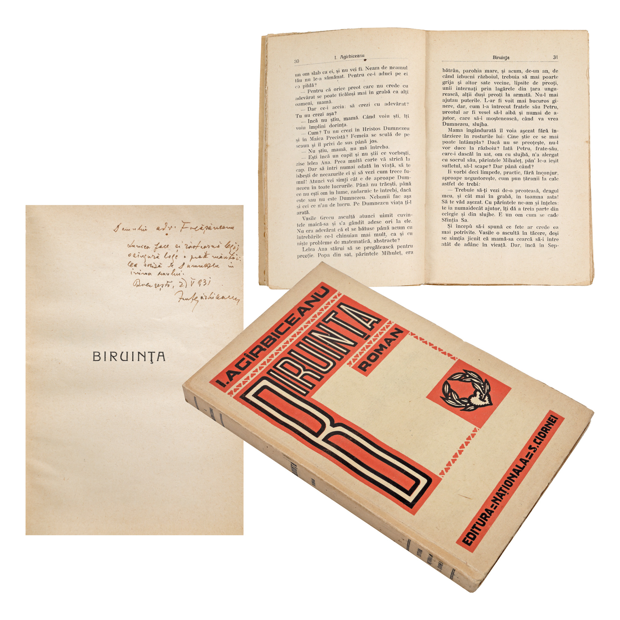
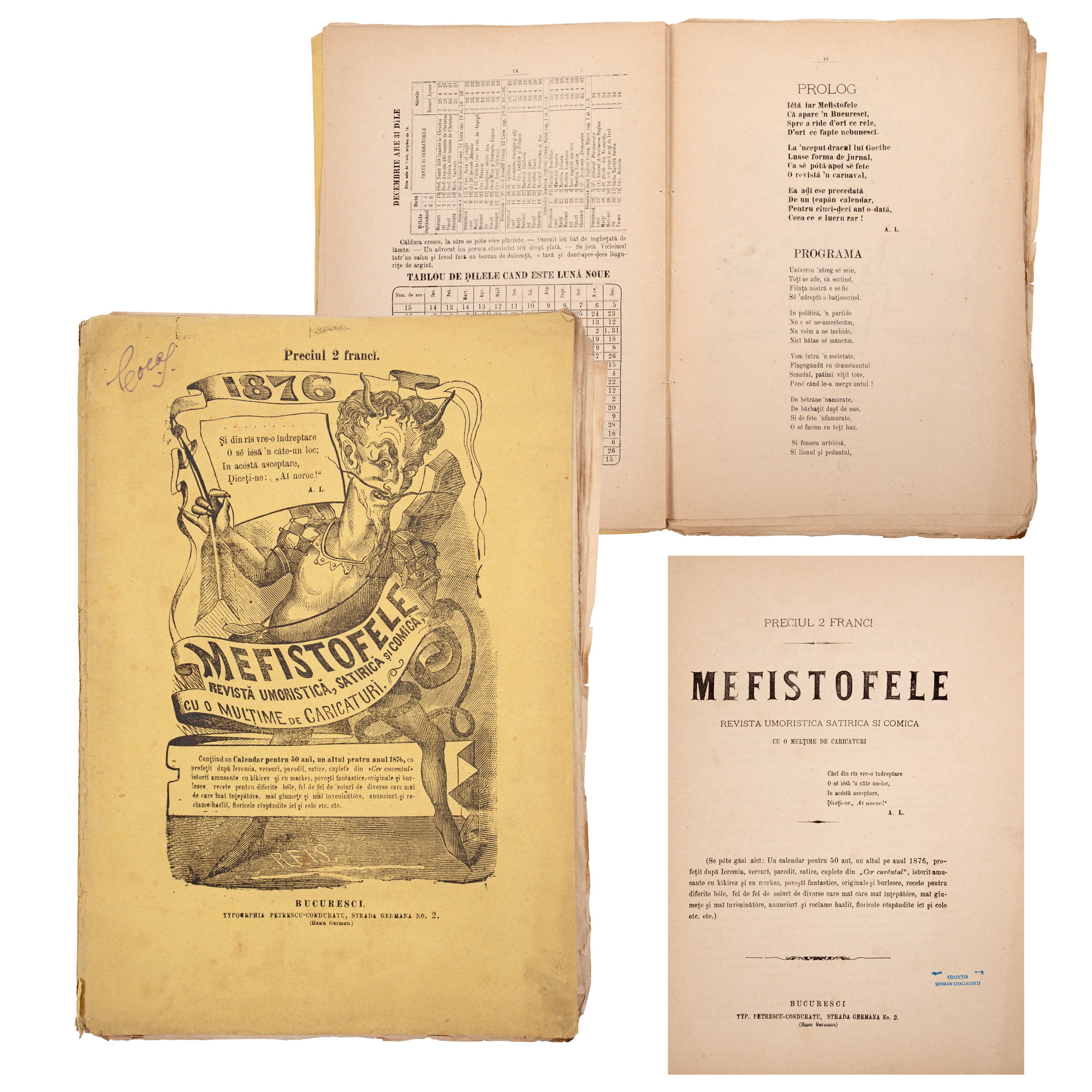
32. "Biruința" ("The Triumph"), by Ion Agârbiceanu, princeps edition, Bucharest, 1930, with the author’s dedication and handwritten signature