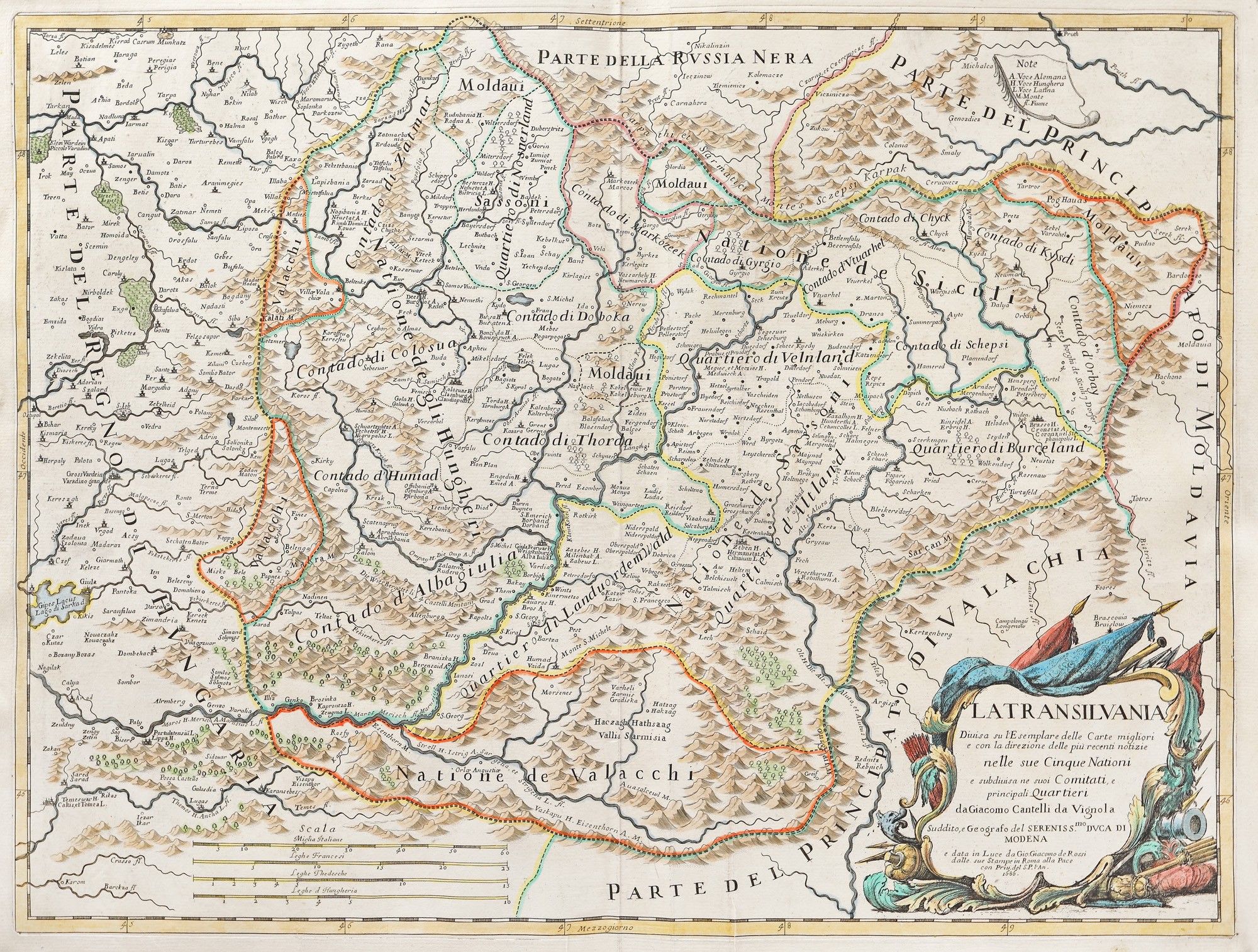
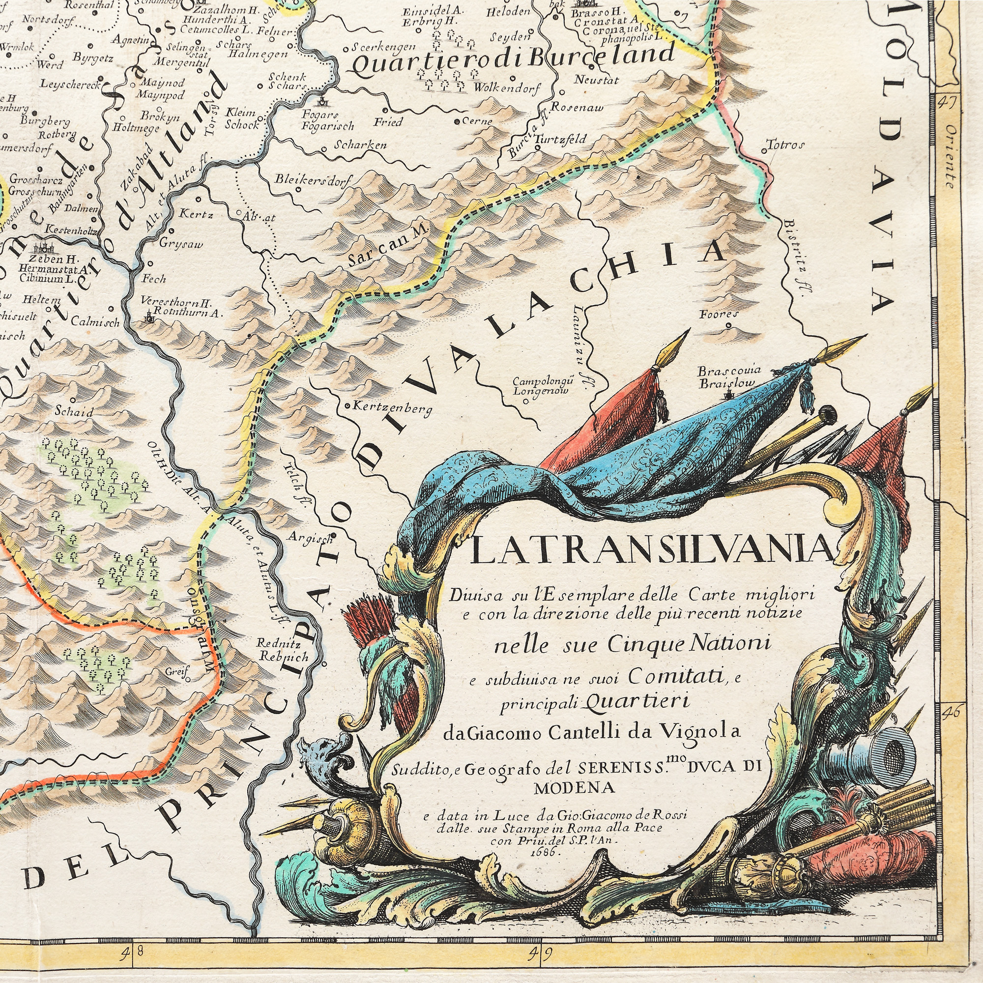
32. Map "Transylvania", Giovanni Giacomo de Rossi, Rome, 1686
Начална цена
EUR 400
Продадено
EUR 650
Сесия
Вто, 5 април 2022 19:00
Описание
copper engraving, laid paper hand-coloured
ДОПЪЛНИТЕЛНА ИНФОРМАЦИЯ
За разяснения относно процедурата по наддаване, разходите при спечелване, условията за гаранция, плащане и вземане на спечеления лот, препоръчваме внимателно четене/препрочитане на Правилника за наддаване.
За допълнителна информация относно лота и търга, моля свържете се с Отдела на арт консултантите.
Detalii
ДОПЪЛНИТЕЛНА ИНФОРМАЦИЯ
За разяснения относно процедурата по наддаване, разходите при спечелване, условията за гаранция, плащане и вземане на спечеления лот, препоръчваме внимателно четене/препрочитане на Правилника за наддаване.
За допълнителна информация относно лота и търга, моля свържете се с Отдела на арт консултантите.
Описание
copper engraving, laid paper hand-coloured
Алтернативни лотове
1. Two officer stilettos, with the monogram of kings Carol II and Michael, first half of the 20th century
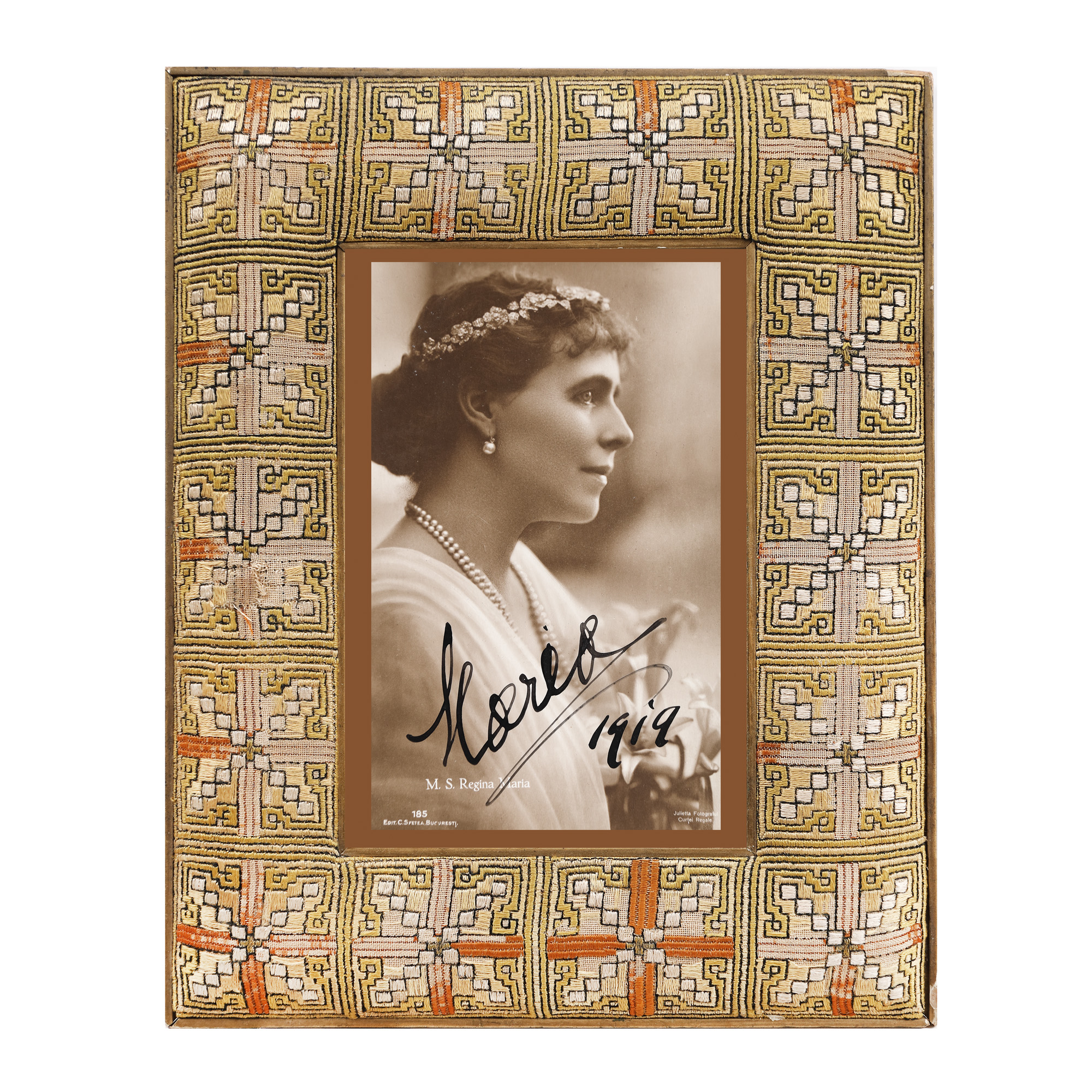
143. Photograph of Queen Mary, 1919, with handwritten signature
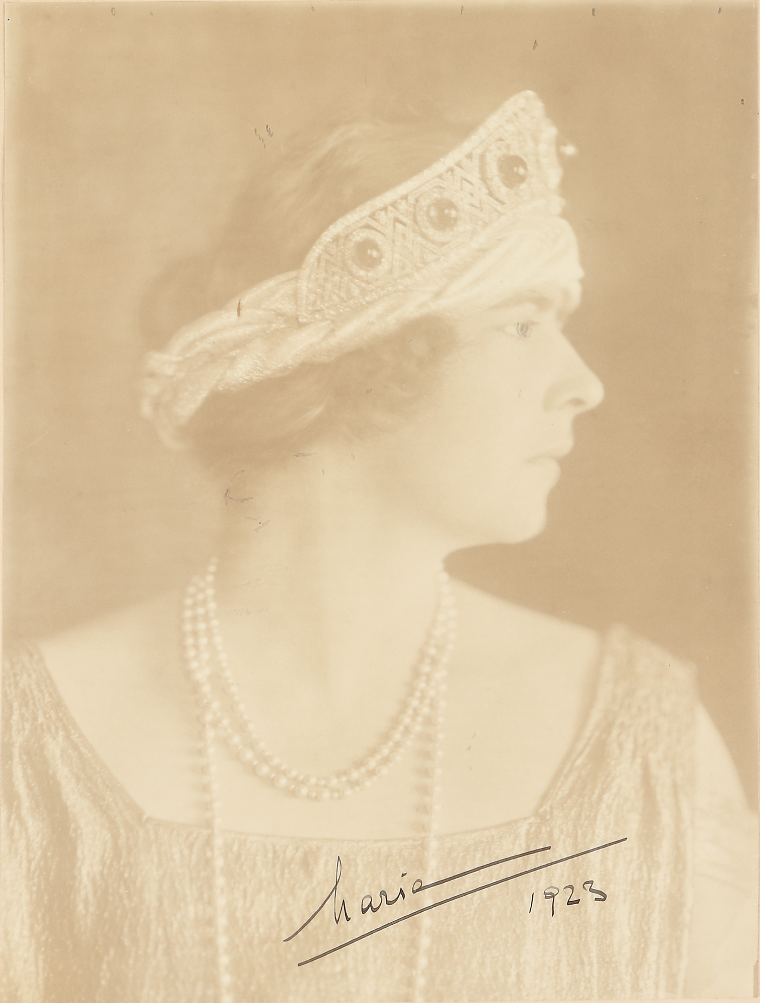
172. Photograph depicting Queen Maria of Yugoslavia, former Princess Maria Mignon, 1923, handwritten signature