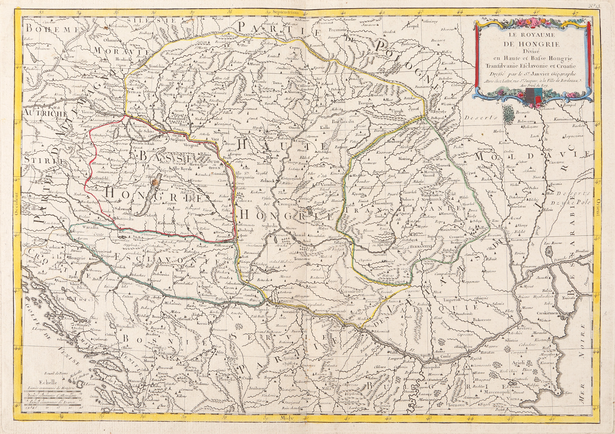
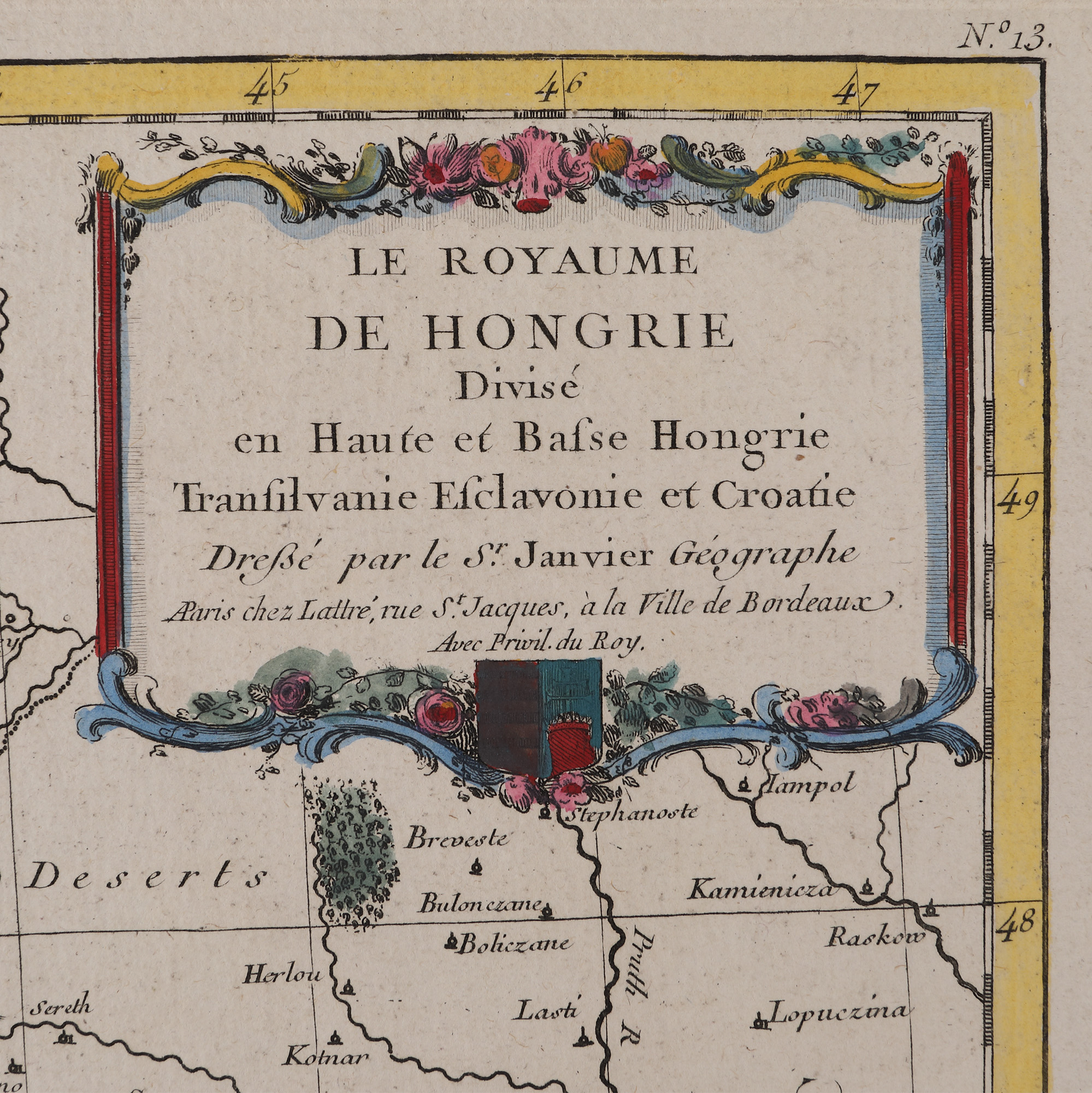
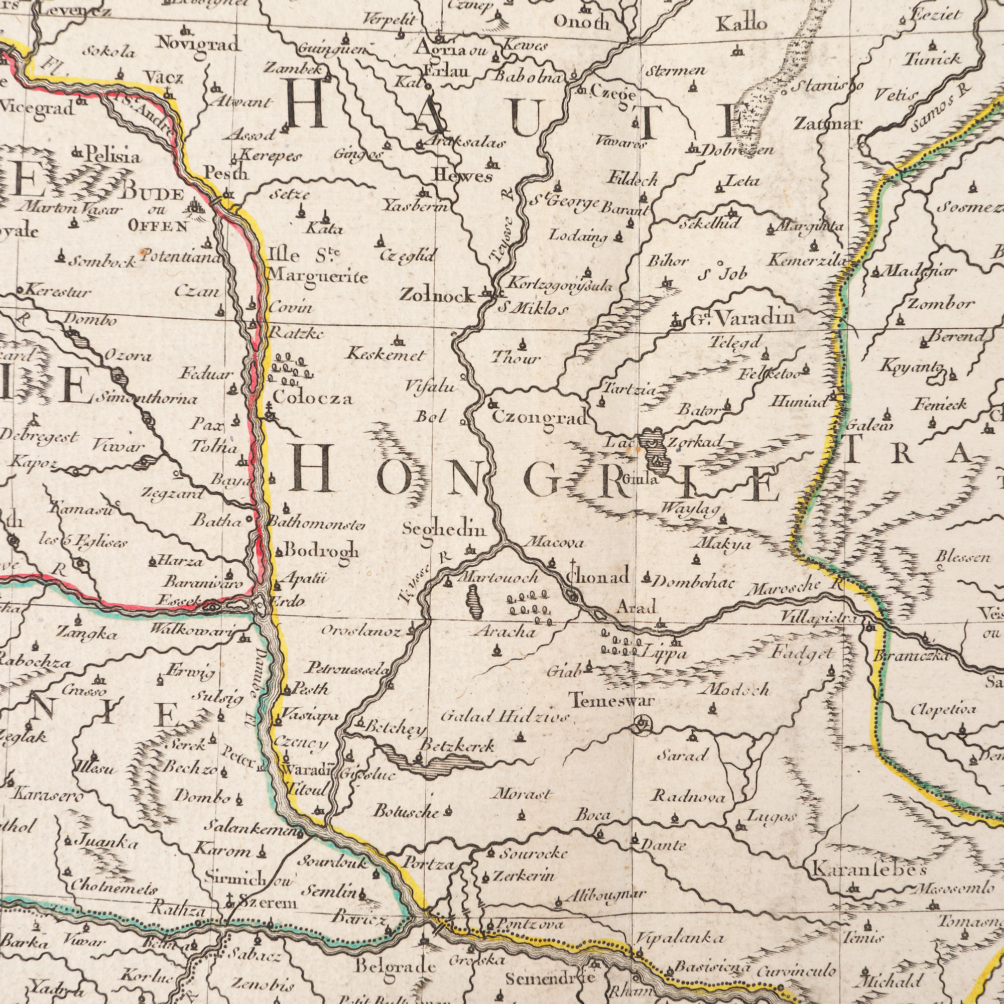
302. "Kingdom of Hungary divided into Upper and Lower Hungary, Transylvania, Esclavonia and Croatia" map by Jean Janvier, Paris, ca. 1780
Продажна цена
EUR 225
Сесия
Пет, 31 март 2023 12:00
Размери
width 38.5 cm, height 54 cm
Описание
copper engraving, hand-coloured laid paper
ДОПЪЛНИТЕЛНА ИНФОРМАЦИЯ
За разяснения относно процедурата по наддаване, разходите при спечелване, условията за гаранция, плащане и вземане на спечеления лот, препоръчваме внимателно четене/препрочитане на Правилника за наддаване.
За допълнителна информация относно лота и търга, моля свържете се с Отдела на арт консултантите.
Detalii
ДОПЪЛНИТЕЛНА ИНФОРМАЦИЯ
За разяснения относно процедурата по наддаване, разходите при спечелване, условията за гаранция, плащане и вземане на спечеления лот, препоръчваме внимателно четене/препрочитане на Правилника за наддаване.
За допълнителна информация относно лота и търга, моля свържете се с Отдела на арт консултантите.
Размери
width 38.5 cm, height 54 cm
Описание
copper engraving, hand-coloured laid paper
Алтернативни лотове
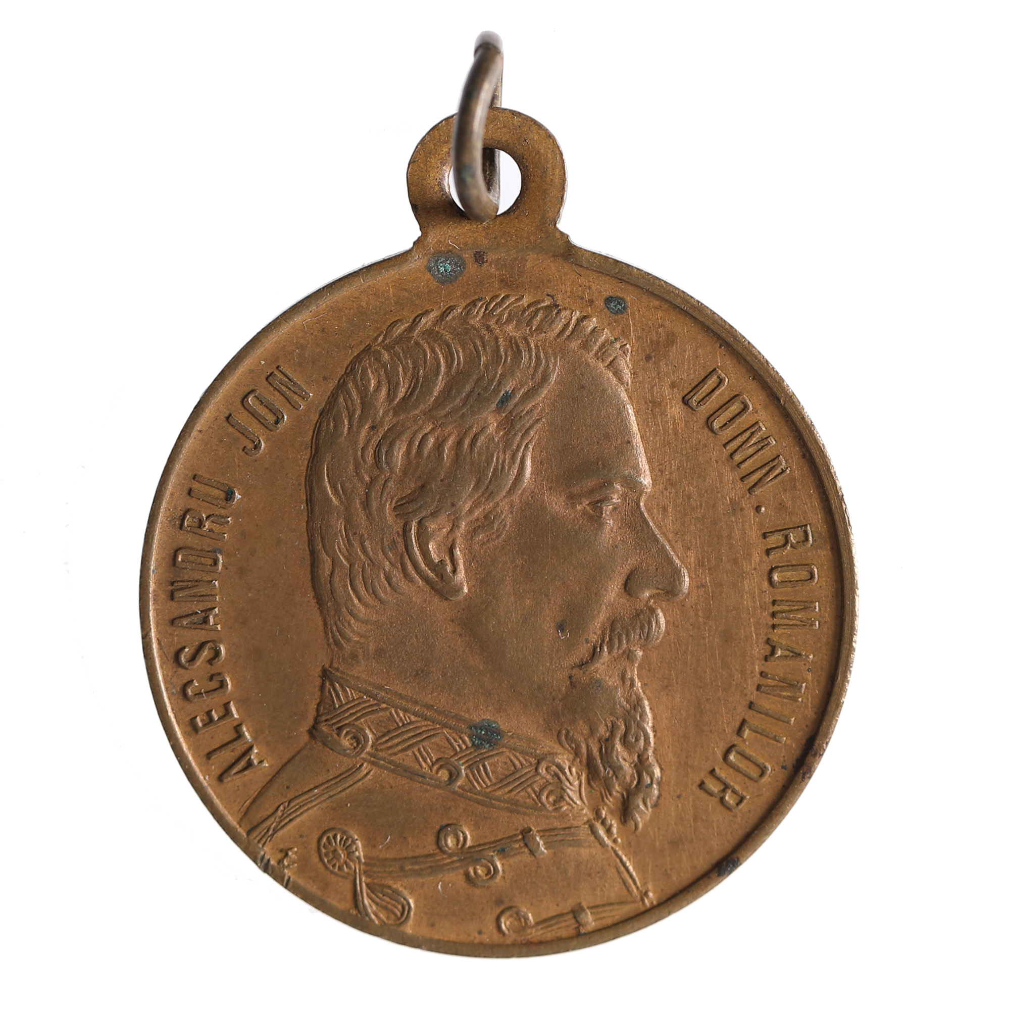
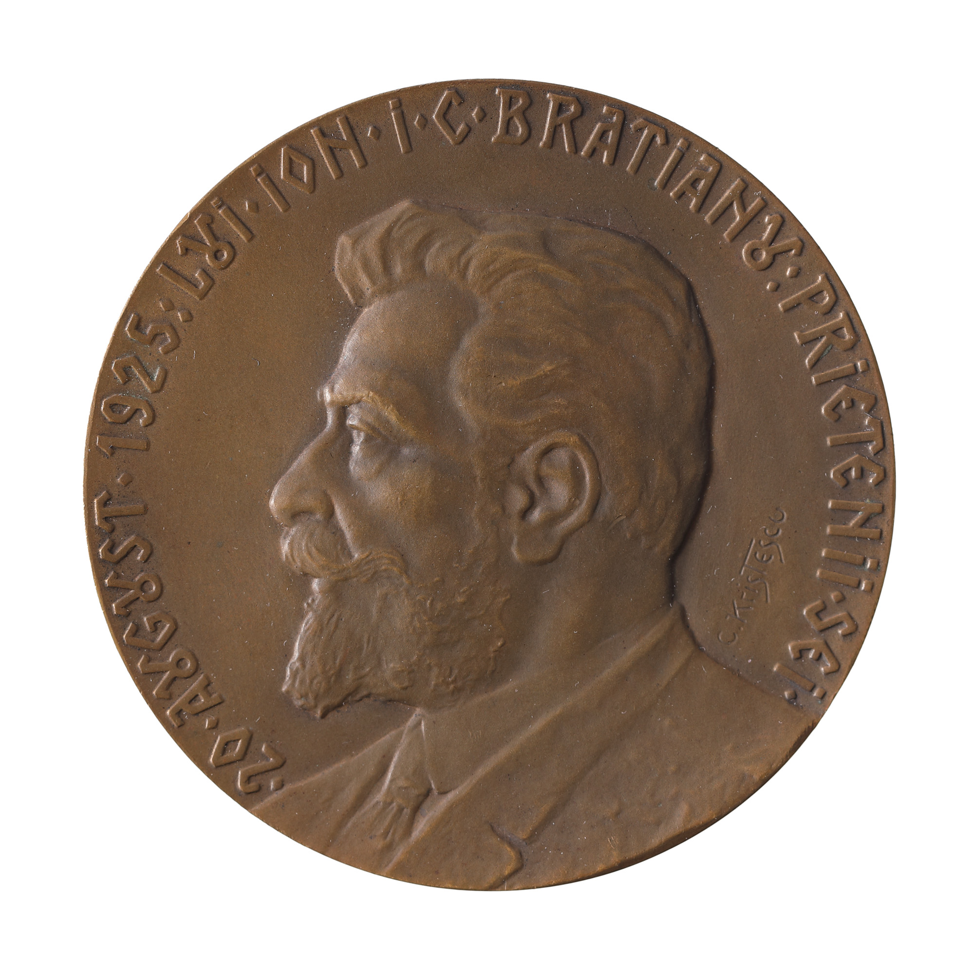
201. “Cuza Vodă" medal, issued on the occasion of the burial of the reigning prince in Ruginoasa in 1873