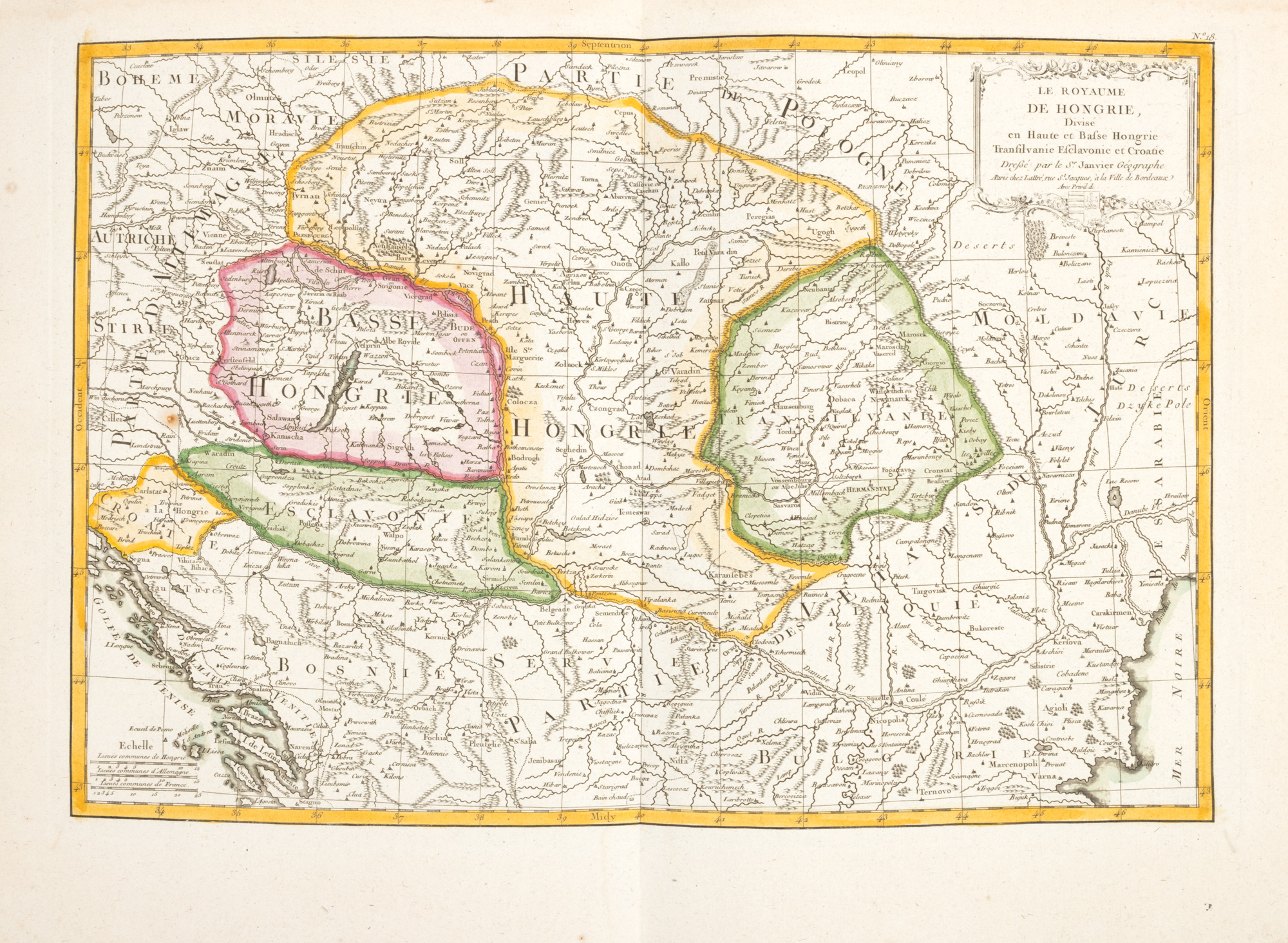
239. Map "Kingdom of Hungary divided into Upper and Lower Hungary, Transylvania, Sclavonia and Croatia", by Jean Janvier, Paris, 1783
Продажна цена
EUR 225
Сесия
Вто, 24 юни 2025 18:00
Описание
copper engraving, striped paper, hand-colored
ДОПЪЛНИТЕЛНА ИНФОРМАЦИЯ
За разяснения относно процедурата по наддаване, разходите при спечелване, условията за гаранция, плащане и вземане на спечеления лот, препоръчваме внимателно четене/препрочитане на Правилника за наддаване.
За допълнителна информация относно лота и търга, моля свържете се с Отдела на арт консултантите.
Detalii
ДОПЪЛНИТЕЛНА ИНФОРМАЦИЯ
За разяснения относно процедурата по наддаване, разходите при спечелване, условията за гаранция, плащане и вземане на спечеления лот, препоръчваме внимателно четене/препрочитане на Правилника за наддаване.
За допълнителна информация относно лота и търга, моля свържете се с Отдела на арт консултантите.
Описание
copper engraving, striped paper, hand-colored
Алтернативни лотове
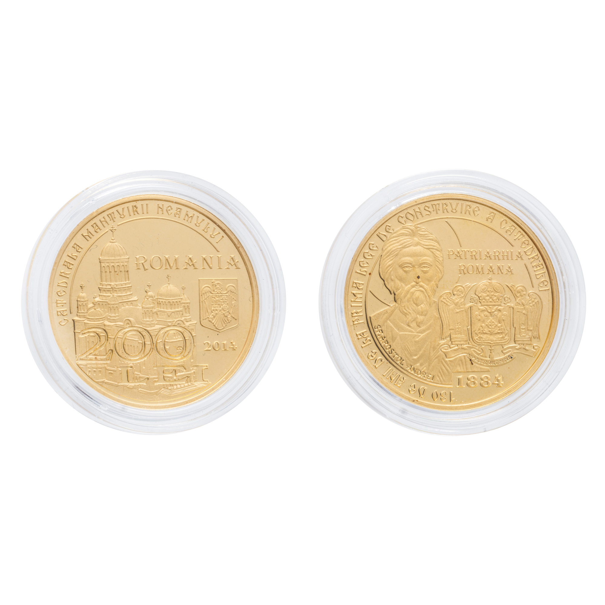
171. Commemorative BNR Coin, 130 years since the first law for the construction of a National Cathedral, gold, accompanied by brochure