

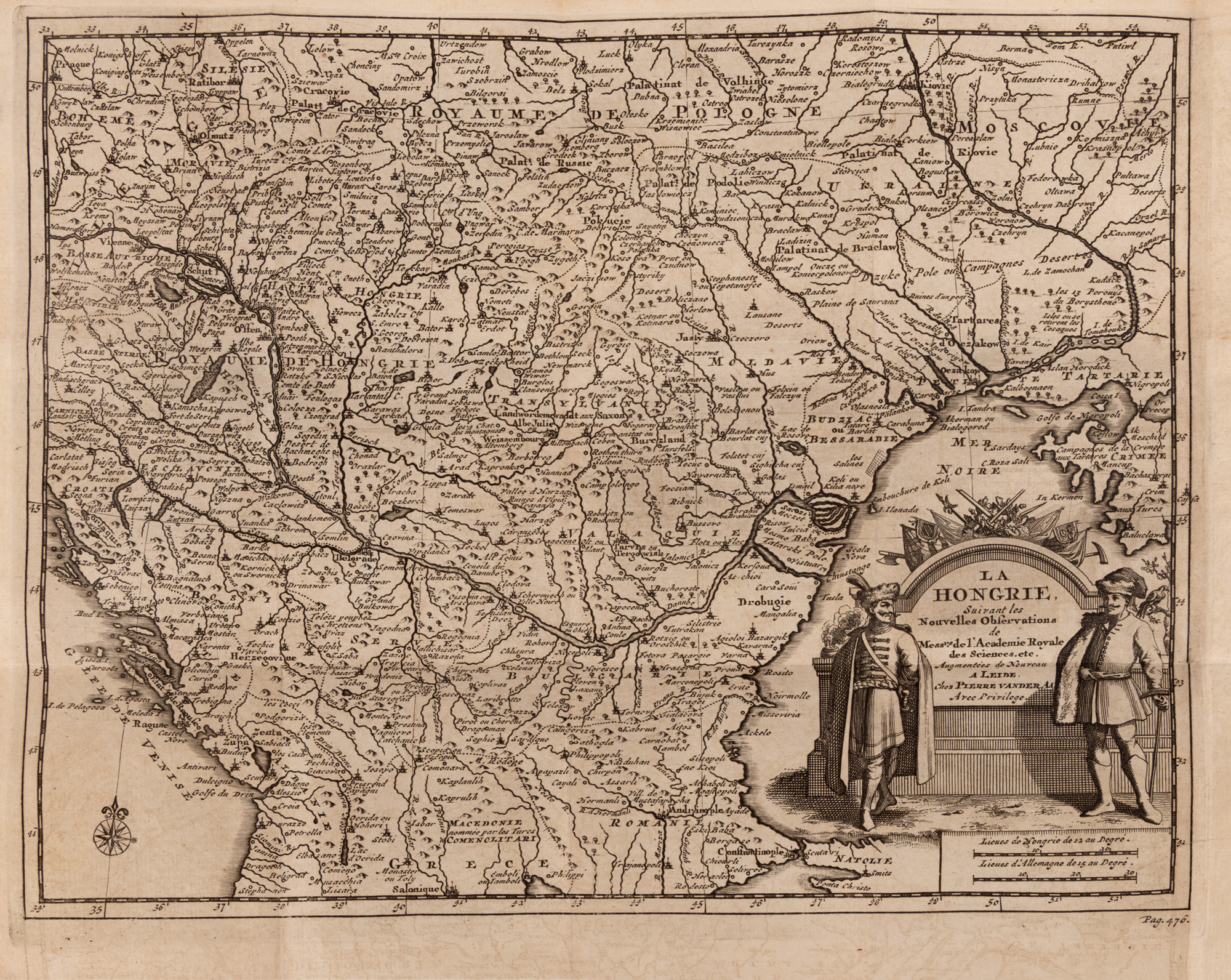
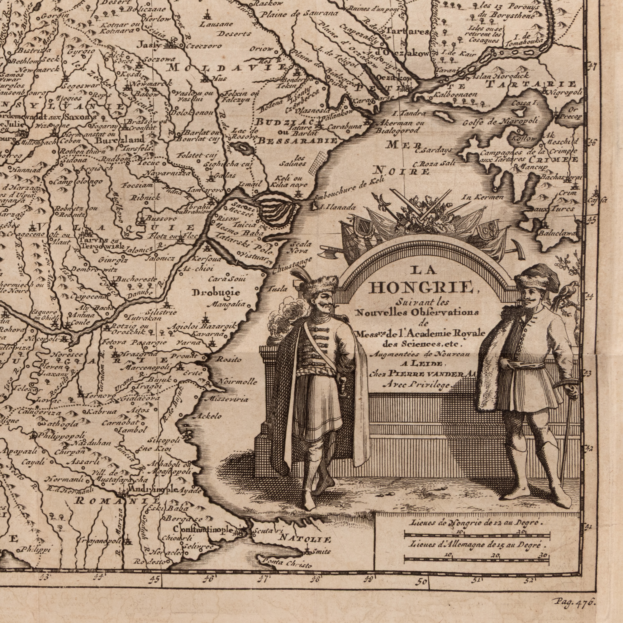
196. "Map 'Hungary', along with the Romanian Countries, by Pieter van der Aa, Leiden, circa 1714"
Начална цена
EUR 200
Сесия
Сря, 1 юли 2026 19:00
0 Zile, 14 Ore, 56 Minute
ОСТАВАЩО ВРЕМЕ ДО ЗАПОЧВАНЕТО НА ТЪРГА НА ЖИВО
Размери
width 23.5 cm, height 24.5 cm
Описание
copper engraving, 23.50x24.50
ДОПЪЛНИТЕЛНА ИНФОРМАЦИЯ
За разяснения относно процедурата по наддаване, разходите при спечелване, условията за гаранция, плащане и вземане на спечеления лот, препоръчваме внимателно четене/препрочитане на Правилника за наддаване.
За допълнителна информация относно лота и търга, моля свържете се с Отдела на арт консултантите.
Detalii
ДОПЪЛНИТЕЛНА ИНФОРМАЦИЯ
За разяснения относно процедурата по наддаване, разходите при спечелване, условията за гаранция, плащане и вземане на спечеления лот, препоръчваме внимателно четене/препрочитане на Правилника за наддаване.
За допълнителна информация относно лота и търга, моля свържете се с Отдела на арт консултантите.
Размери
width 23.5 cm, height 24.5 cm
Описание
copper engraving, 23.50x24.50
Алтернативни лотове
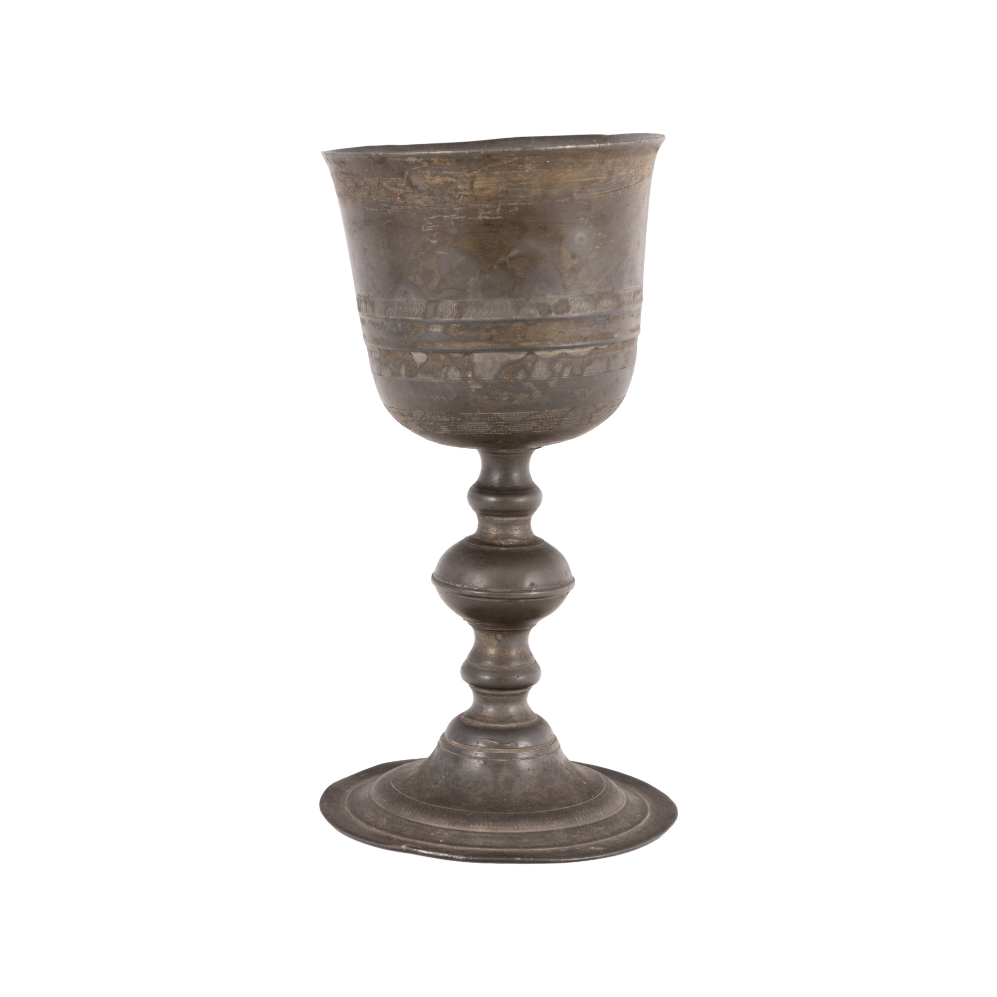
183. Tin Cup, Transylvanian Workshop, 18th-19th Century
0 Zile, 14 Ore, 56 Minute
ОСТАВАЩО ВРЕМЕ ДО ЗАПОЧВАНЕТО НА ТЪРГА НА ЖИВО
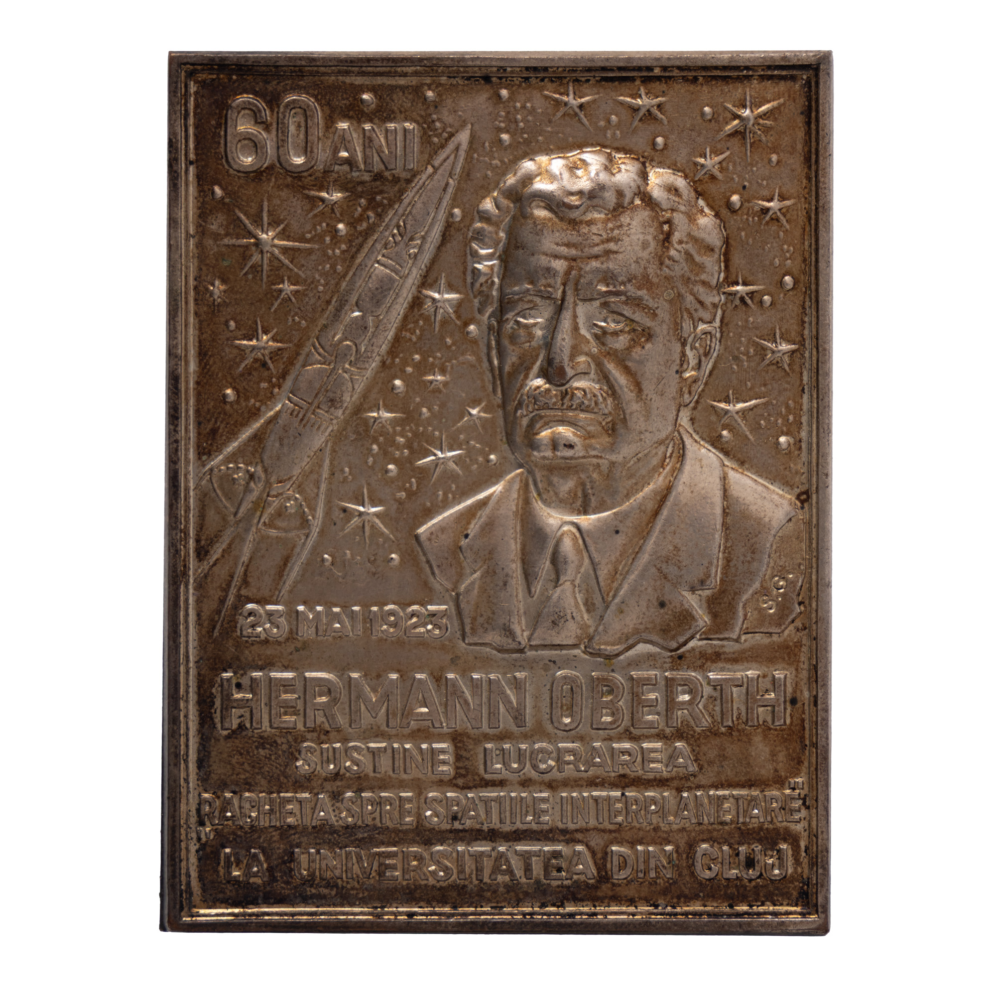
12. "Hermann Oberth" Plaque, cca. 1923
0 Zile, 14 Ore, 56 Minute
ОСТАВАЩО ВРЕМЕ ДО ЗАПОЧВАНЕТО НА ТЪРГА НА ЖИВО
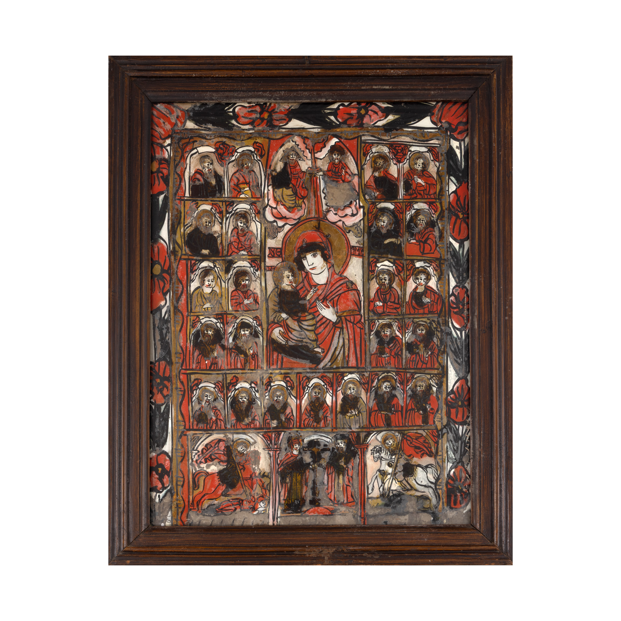
109. "Icon on glass, 'Mother of God with the Child surrounded by Apostles and Prophets of the Old Testament, Holy Trinity, Holy Emperors Constantine and Helena and Military Saints George and Dimitrie', workshop from Marginimea Sibiului, mid-decades of the 19th century, rare piece"
0 Zile, 14 Ore, 56 Minute
ОСТАВАЩО ВРЕМЕ ДО ЗАПОЧВАНЕТО НА ТЪРГА НА ЖИВО
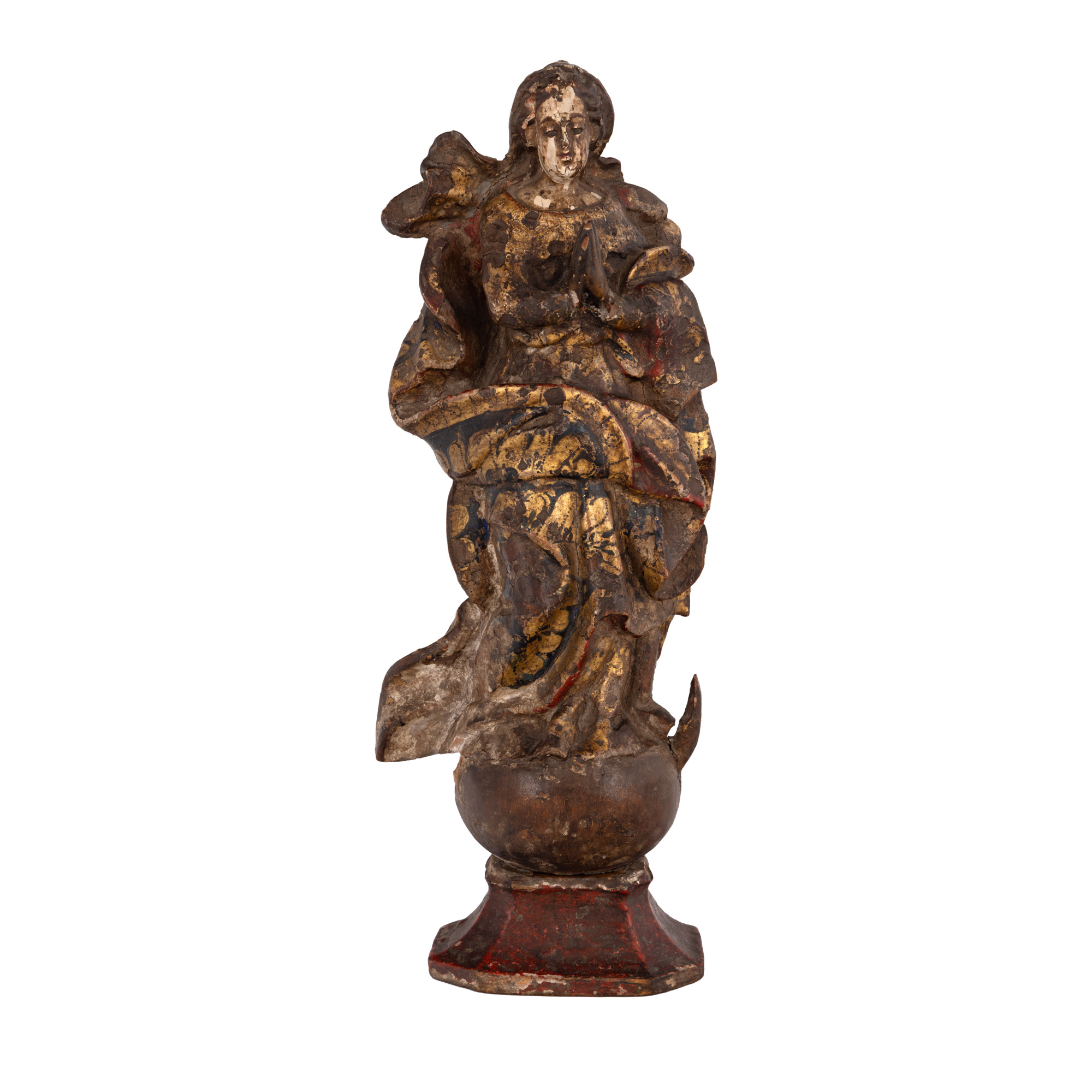
131. Wooden statuette, "Virgin Mary", Transylvanian workshop, 18th century
0 Zile, 14 Ore, 56 Minute
ОСТАВАЩО ВРЕМЕ ДО ЗАПОЧВАНЕТО НА ТЪРГА НА ЖИВО